Our forest work covers aspects of REDD+ climate mitigation projects, monitoring for restoration, global assessments and big data processing
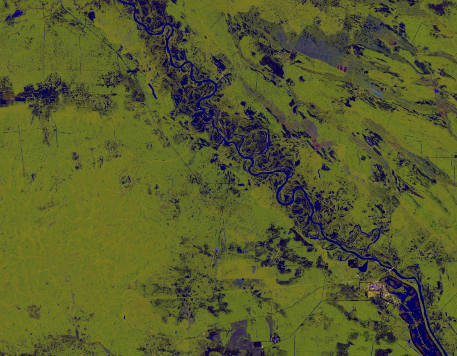
Cloud-free active radar
in cloudy environments like the tropics, we are turning to cloud-penetrating radar such as Sentinel-1 to assess forest cover change and degradation

Drone-based surveys
Drones are enabling flexible, highest resolution images for canopy cover, degradation and enforcement activities. And beautiful christmas cards.

Forest Degradation
We have developed new techniques to evaluate forest degradation via fragmentation for various applications to estimate greenhouse gas emissions or plan sustainable forest use.
Expanding Protected Areas in the Republic of Guinea
The World Bank is supporting various efforts to help Guinea reach it’s nationally determined contributions to the Paris Accord. This includes the expansion of the national protected areas system to help secure carbon and protect valuable natural resources.
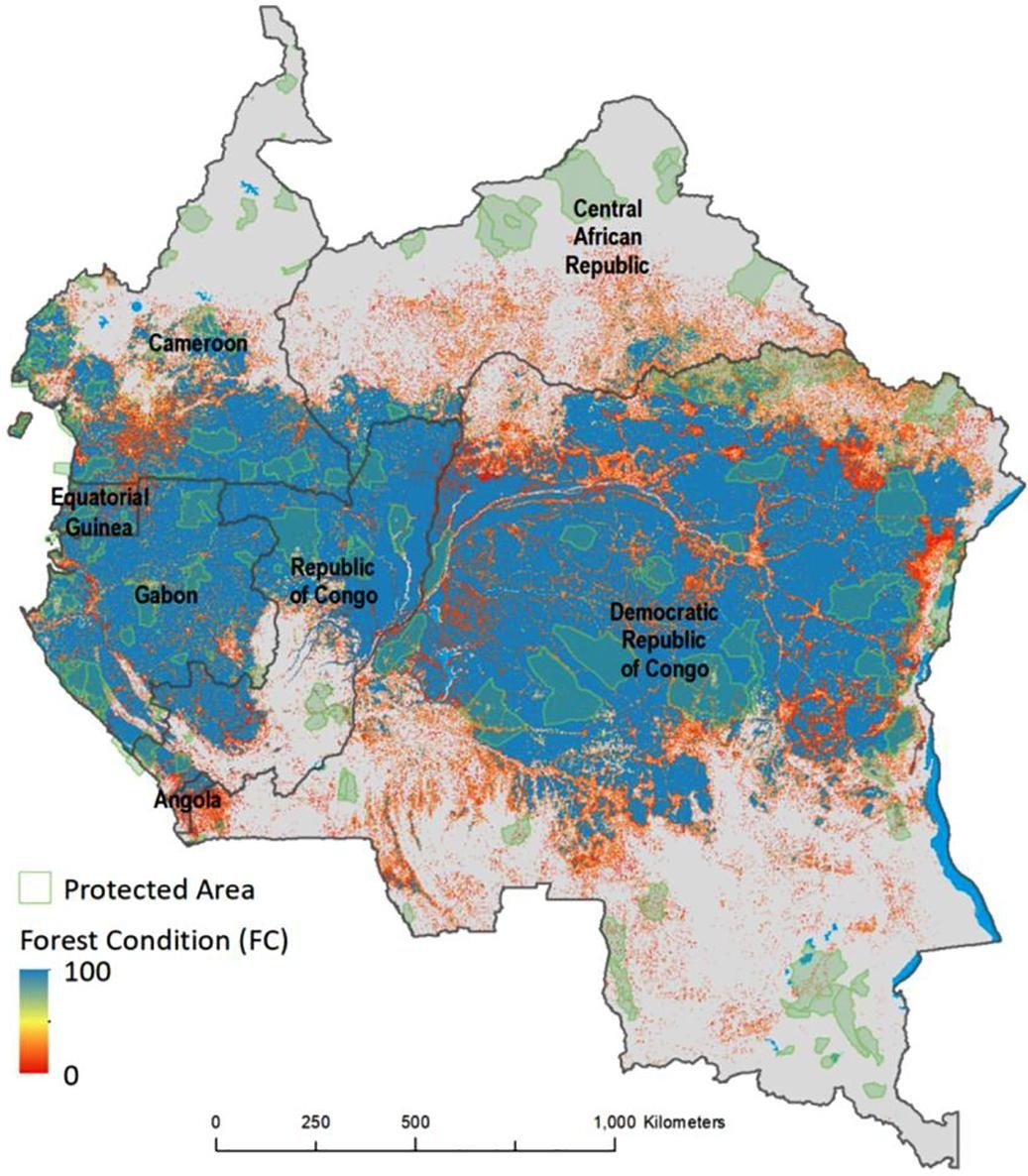
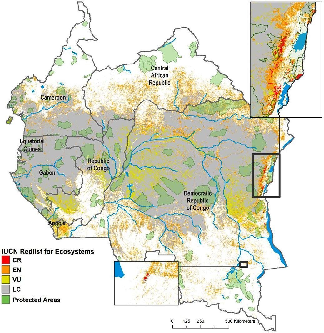
Assessing forest intactness for mapping high conservation value (HCV) in the Congo Basin
We mapped forest condition in all six Congo basin countries to support a regional HV analysis and conservation prioritization. This research was published in Environmental Research Letters.